


FahrInfo Dresden

FahrInfo Dresden leírása
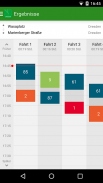
FahrInfo Dresden is a mobile timetable information service for the public regional transport in the transport consortium of Oberelbe abbreviated VVO. No matter if by bus, tram, suburban train (S-Bahn) or regional train: FahrInfo finds the best connection for you from point A to point B and takes you, thanks to Google Maps integration, from door to door!
Contents:
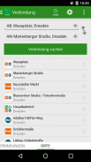
- information on connecting service
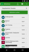
- display of departures
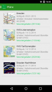
- public transport network maps
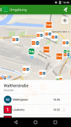
- displaying stations nearby
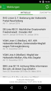
- information on current and upcoming disturbances and changes in service
Necessary authorization:
- Your location: FahrInfo can find connections from or to you current location and stops or stations nearby. If you use one of this features, your current location is sent to the server of the journey planning system.
- Your personal information: FahrInfo can navigate you directly from or to an address of one of your contacts. If you use this feature, only the address of the contact you selected is sent to the server of the journey planning.
- Storage: FahrInfo stores necessary files, such as network transport maps and graphical elements, on your smartphone.


